PROJECT DefDrone_3d
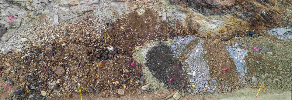
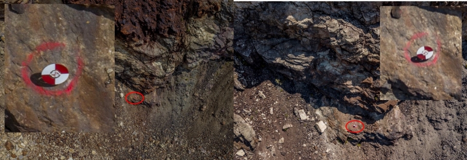
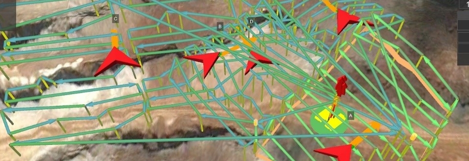
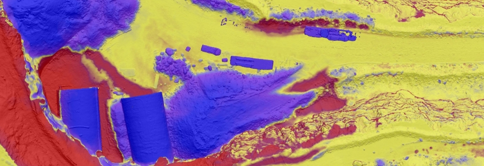
Unmanned Aerial System (UAS, drones) have evolved rapidly for numerous areas of application in recent years. Particularly the use of latest sensor techniques open up intriguing possibilities in the field of deformation analysis. The aim of DefDrone3D is to develop a drone-based monitoring system to semiautomatically detect and analyse deformations. Different terrain surfaces, such as rock walls, slopes or artefacts like river dams are being surveyed and changes are analysed. A major focus of the project is the development of a software tool, which detects, analyses and visualises deformation in only a few steps.
DefDrone_3D is being tested at the Austrian “Zentrum am Berg” (ZaB), a research, development and education centre for the construction and maintenance of sub-surface facilities and transport infrastructure. Based on newest photogrammetric techniques the system will enable periodic measurements with an accuracy of 1 cm in critical and poorly accessible areas. This raises new application fields in the area of geotechnical engineering and early warning systems.
PROFILE DefDrone_3D
Contribution GEORESEARCH: GCP Planning, Flight Mission, Photogrammetric Analysis, Deformation Analysis
Project Partners: Geodata ZT GmbH, 3GSM GmbH, Geodata Andina S.A., Montanuniversität Leoben
Project Duration: 2017 - 2019
Funding: FFG, Eureka

