PROJECTDrainage Drone
Undetected and often overlooked, small water leaks originating from ground and slope sources can lead to significant subsoil saturation over a prolonged duration. The consequences include an increased susceptibility to landslides, infrastructure and building damage due to moisture infiltration, and the spread of water-related pollutants. Therefore, detecting and identifying such water leaks is of paramount importance for assessing natural hazards and environmental concerns.
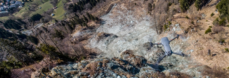
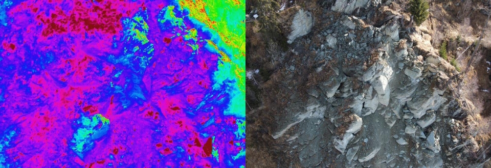
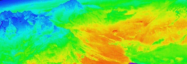
The Drainage Drone project investigates the potential of drone-based thermographic imaging to detect and visualize these water leaks. The use of UAVs offers numerous advantages, including comprehensive and time-efficient monitoring at a low cost. Even areas that are difficult to access can be effortlessly surveyed. The leaked water is expected to be identified through temperature and reflectivity differences relative to the surrounding environment. While drone-based thermography is increasingly employed in monitoring technical objects, its application in the field of natural hazards is still limited, and its full potential remains untapped.
The primary objectives of the project are: (a) Providing insights into the temperature differences required for detecting water leaks in comparison to the surrounding environment. (b) Identifying characteristic leak patterns. (c) Investigating the influence of vegetation, seasons, weather conditions, and surface emissivity.
To achieve these objectives, three distinct application areas (open-cast mine embankment, residual material landfill, complex mass movement) were selected to examine the varying effects of water leakage.
PROFILE
Contribution GEORESEARCH: Project Lead
Project Partner: GEOCONSULT ZT GmbH
Project Duration: 2021 - 2022
Funding: Austrian Research Promotion Agency - FFG


