PROJECT Ingelsberg
Monitoring mass movement activity with UAV photogrammetry
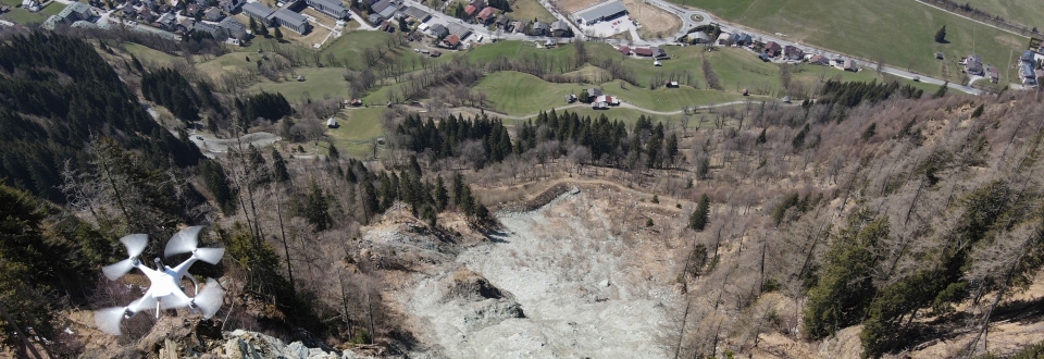
High rockfall activity at the Ingelsberg in Bad Hofgastein has been a significant risk factor for several centuries. The documentation of hazardous rockfall events dates back to the late 18th century, with the recorded volumes ranging from tens to several hundred cubic meters. The largest rockslide to date occurred in 1987 with a volume of approximately 5 000 m³. In 2018, several blocks of rock that were in danger of falling had to be artificially blasted after a 500 m³ event.
To date, countermeasures have included, among others, the construction of a protective dam at the foot of the unvegetated debris slope below the Ingelsberg rock face. In addition, comprehensive monitoring measures have been implemented, ranging from conventional geodetic surveys to temporary monitoring using terrestrial radar interferometry.
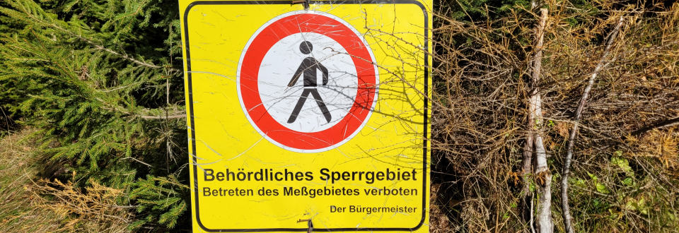
Due to its steepness, unfavorable stratigraphy, and its proximity to the residential and commercial area of Bad Hofgastein, the Ingelsberg represents one of the most significant natural hazards in the entire province of Salzburg. Therefore, GEORESEARCH was commissioned by the municipality of Bad Hofgastein to conduct a scientific study on the mass movement activity at the Ingelsberg. The objective of the study, which is based on UAV photogrammetry, is to detect possible large-scale slope movements and to assess rockfall activity.
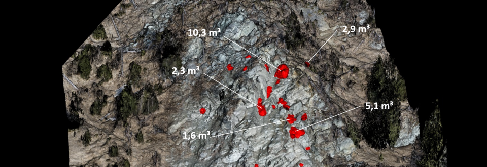
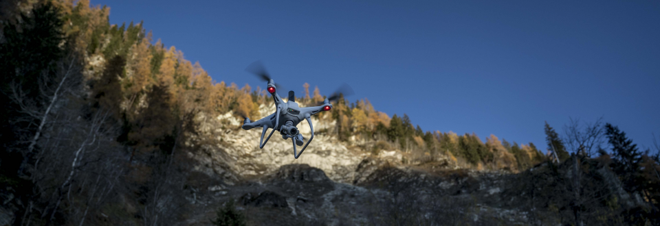
As part of the study, the terrain surface of the study area (approximately 0.3 km²) is surveyed with UAV photogrammetry twice a year and recorded with a ground sample distance of around 3 cm. The UAV flights were carried out during snow-free periods at the beginning (April) and end (November) of the vegetation period. Preliminary results show no signs of large-scale slope or rock deformation at the Ingelsberg but demonstrate very high rockfall activity (around 50 events per year, erosion rate around 5 mm per year) with a significant concentration of rockfall detachment areas in the upper third of the rock wall.
PROFILE
Contribution GEORESEARCH: Project lead
Project partners: Gemeinde Bad Hofgastein, Land Salzburg
Project duration: since 2020
Funding: Gemeinde Bad Hofgastein


