PROJEKTSprengreitlawine
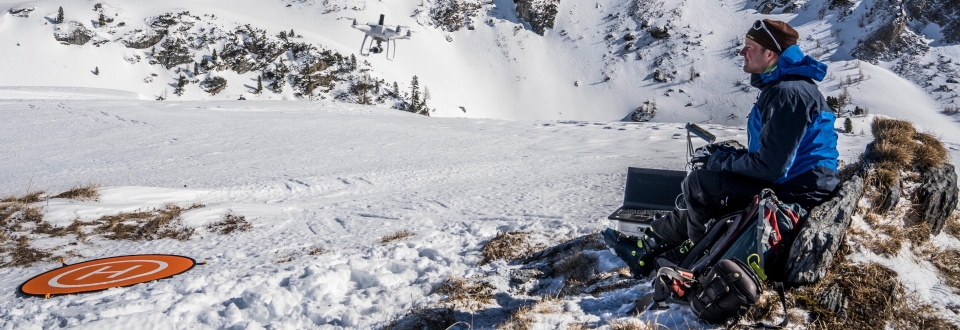
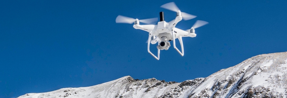
Avalanches occurring above infrastructure and populated roads pose a significant potential danger. Knowledge of snow depth and its characteristics can contribute greatly to assessing this risk and enable early intervention, such as targeted avalanche blasting. Considering the inherent risks involved in traversing avalanche-prone areas, using drones to capture aerial measurements of snow depth becomes an ideal solution. This approach allows for the relatively effortless survey and analysis of inaccessible or completely inaccessible regions.
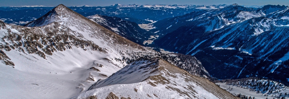
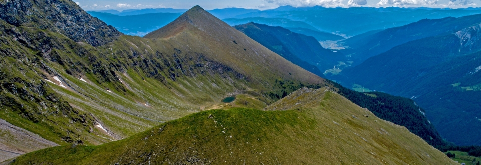
In the "Sprengreit Avalanche" project, snow depth distribution is measured through at least three consecutive drone flights on an avalanche slope located above the B99 federal road in Tweng. The objective is to assess the avalanche potential and provide a basis for future construction planning, ensuring the safety of the federal road. Since the target slope lies beyond the visual line of sight from the drone launch site, a Beyond Visual Line of Sight (BVLOS) flight operation is required. This necessitates adapted flight planning and special permissions obtained within the scope of the project due to the heightened potential risks.
PROFILE
Contribution GEORESEARCH: Project Lead
Project Partner: Federal Government Salzburg
Project Duration: 2021 - 2022
Funding: Austrian Research Promotion Agency - FFG

