PROJECT STRATIFY
Using an UAV-based GPR to search for weak layers in the snowpack
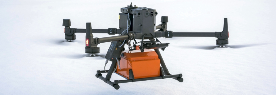
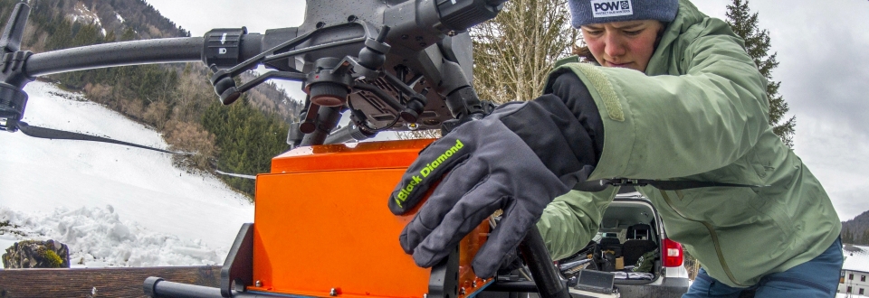
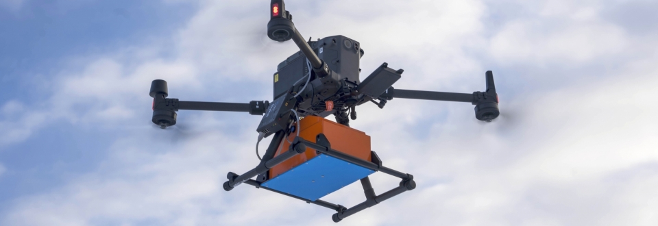
Experienced ski tourers know it well: Hazardous slab avalanches are caused by weak layers within the snowpack. Identifying these layers (before an avalanche is triggered) is key for safety considerations and is the focus of our new FFG project STRATIFY. The project is carried out by GEORESEARCH and LO.LA from Tyrol who will implement ground-penetrating radar mounted on UAVs for safe and precise air-borne snowpack characterization.
Slab avalanches, the most common avalanche type, originate from weak layers within the snowpack. Such weak layers - for example snow-covered hoarfrost - are formed over the course of a winter season by a variety of weather conditions and by snow metamorphosis. They are poorly connected to the surrounding layers and contribute to an unstable snowpack structure from which slab avalanches can be easily triggered.
Digging snow profiles is the most common method to study snowpack structure. This involves thoroughly analyzing individual layers of a snow profile (typically at least 30 cm) and documenting parameters such as grain shape, grain size, hardness and moisture to identify weak layers. Such snow profiles are also used to assess local avalanche danger (single slope assessment). Major disadvantages of the snow profile approach include its time-consuming implementation (travel to the profile location, digging, documenting) and significant safety risks for the person carrying out the measurements.
GPR from UAVs: Non-destructive snowpack characterization
Thanks to recent advances in technology, UAVs (Unmanned Aerial Vehicles, "drones") can now be used for research in high-alpine study sites. Such operations are most insightful when UAVs are equipped with additional sensor technologies such as GPR (ground-penetrating radar). High-frequency GPR systems are theoretically capable of detecting small anomalies within a snowpack which makes them an intriguing tool to identify stability-relevant weak layers (failure planes).
Project goals and outlook
In the STRATIFY project avalanche-prone slopes will be surveyed by UAVs equipped with cutting-edge GPR sensors. Based on the obtained radargrams a methodology will be developed for an air-borne identification of stability-relevant weak layers (failure planes) within in a snowpack. The project has been started in November 2022 and will run for 18 months. Over two winter seasons, the system will be tested, evaluated and improved in several field campaigns. Progress will be reported on our website as well as on our social media channels.
PROFILE
Contribution GEORESEARCH: Scientific Partner
Project Partners: LO.LA Peak Solutions GmbH
Project Duration: 2022 - 2024
Funding: FFG


