PROJECT Tren a las Nubes
Development potentials of an extreme mountain railway
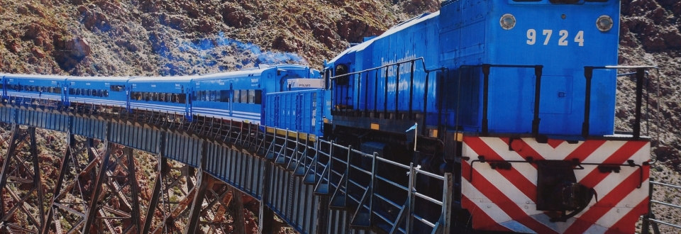
The massive and exposed mountain ridges of the Andes have always posed a tremendous challenge to the planning, construction, maintenance and operation of traffic infrastructure. Roads, often in weak conditions and not year-round passable, are at present the major transport routes between Argentina and Chile. Alternatively, there are only two train links, of which, however, only one, the so-called “Tren a las Nubes” – the train to the clouds – connecting Salta (Argentina) and Antofagasta (Chile), is still in operation.
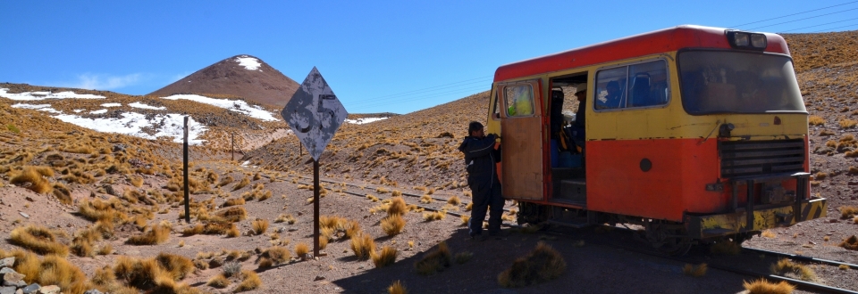
In recent decades, successful projects in Austria have proven that even in spite of harsh and challenging topographic conditions, rail-bound freight transportation can contribute significantly to the overall transportation mix. In order to make rail traffic more efficient, more competitive and safer, a particular focus has been on the improvement of the existing rail infrastructure. The aim of the project at hand is to analyse the chances and risks as well as future development potentials of rail-bound freight transport on the existing “Tren a las Nubes” rail link. Special emphasis hereby is put on an interdisciplinary approach: among other things, the railway alignment will be analysed based on satellite data, the technical conditions of the railway line will be assessed and stepwise improvement measures will be proposed. Furthermore a new method for natural hazard analysis and customized logistics and transport concepts will be developed.
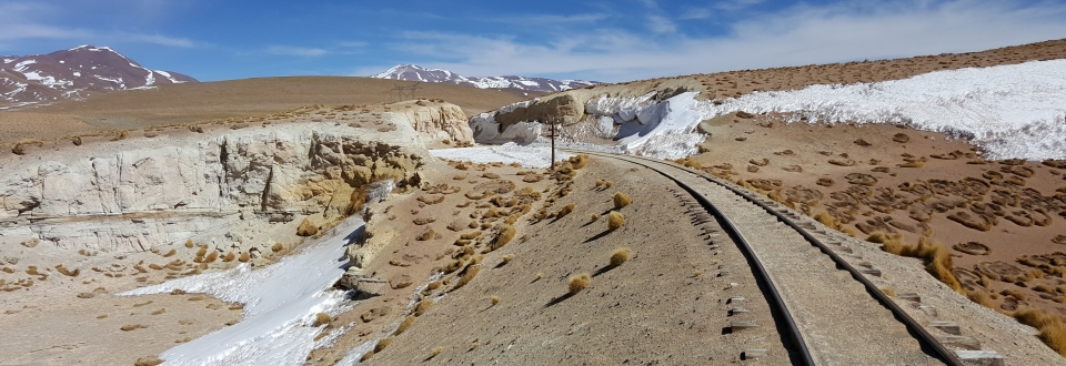
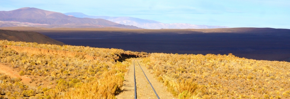
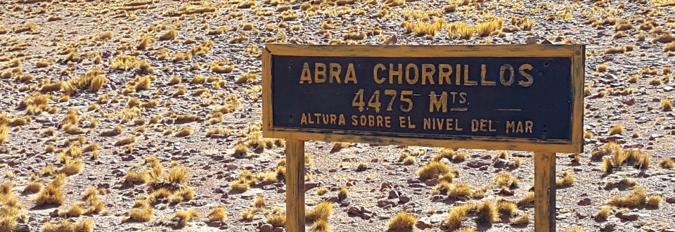
On a total length of 780 km, the rail line not only conquers steep slopes and deep canyons, but also reaches elevations of up to 4,400 m above sea level. Due to this extreme topographic location, a comprehensive natural hazard and risk analysis is an important decision-aid for infrastructure operators. This is especially crucial for decisions on future projects. Some of the biggest challenges in this context are the investigation area’s enormous size of more than 10,000 km², the short project period of less than 6 months and the moderate quality of the existing data. GEORESEARCH meets these challenges by developing an innovative method based on cutting-edge satellite and drone technologies to detect natural hazard “hot spots”. Potential hazards, once recorded, are assessed according to their probability and the expected damage. In combination with expert workshops, a profound risk landscape is created eventually.
The project Tren a las Nubes, funded by Austria Wirtschaftsservice GmbH, combines in a holistic and innovative approach and under the lead of Geoconsult ZT GmbH (based in Wals near Salzburg), the specific expertise and the interdisciplinary know-how of national and Argentinian partners. We at GEORESEARCH are thrilled by this new challenge and are looking forward to a successful cooperation with our partners!
PROFILE
Contribution GEORESEARCH: Lead Workpackage: Semi-quantitative natural hazard and risk analysis
Project Partners: Geoconsult ZT GmbH, STL Solutions for Transport and Logistics GmbH, PLANUM Fallast Tischler & Partner GmbH
Project Duration: 2017
Funding: AWS - Austria Wirtschaftsservice Gesellschaft mbH
SELECTED REFERENCES
Geoconsult Aids in Building "Train to the Clouds" Tunnel Business Magazine (12.03.2018).
