PROJECT UAV Glacier Monitoring Salzburg
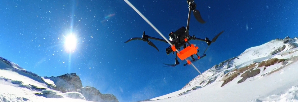
Building on monitoring activities dating back to 2016, selected glaciers in the Salzburg Tauern are being systematically surveyed at high spatial resolution. The project combines state-of-the-art UAV-based laser scanning, photogrammetry, and ground-penetrating radar technologies to not only visualise glacier change, but to quantify it with high precision.
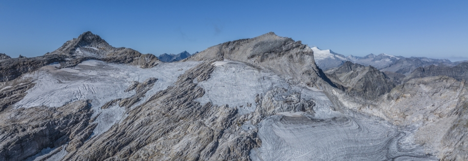
The project focuses on four glaciers: Stubacher Sonnblickkees, Ödenwinkelkees, Venedigerkees, and Untersulzbachkees. While UAV laser scanning and photogrammetry enable highly accurate, area-wide 3D mapping of glacier surfaces, UAV-borne ground-penetrating radar provides high-resolution information on ice thickness and subglacial topography with an unprecedented density of measurement points. This closes a key knowledge gap: the direct, contactless determination of ice volume and water equivalents.
A particular added value lies in the integration of existing long-term datasets. By combining historical UAV, photogrammetric, and airborne laser scanning (ALS) datasets, annual changes can be quantified precisely and placed into a multi-year context. This results in robust time series of area, elevation, and volume changes – a fundamental basis for assessing climate-driven developments.
The results are processed in the form of high-resolution difference maps, parameter tables, orthophotos, and animations. They provide an immediate understanding of glacier dynamics and deliver a robust basis for hydrological analyses, risk assessments, and strategic decision-making (e.g. in tourism) related to the rapid transformation of the alpine cryosphere.
The project builds upon a multi-year methodological development. While the monitoring focus since 2016 has primarily been on glacier surface changes, the year 2024 marked a major methodological extension with the first systematic ground-penetrating radar surveys for ice thickness assessment at Stubacher Sonnblickkees. From 2025 onwards, this approach was transferred, among others, to Ödenwinkelkees, spatially expanded, and integrated into a comprehensive 3D monitoring concept. The current project therefore does not represent a new beginning, but rather the consistent advancement and integration of a dataset and methodological framework developed over many years.
The combined surface and subsurface surveys carried out to date indicate a current ice volume of approximately 4.3 million m³ for Stubacher Sonnblickkees. Since the first area-wide 3D survey of the glacier surface in 2008 (official ALS survey), the glacier has lost around 83% of its volume (-20.7 million m³). At the same time, the mean ice thickness decreased by around two thirds to only 6.9 m, while the thickest remaining ice sections currently reach only about 25 m. The significantly larger Ödenwinkelkees has also already experienced substantial losses: its current ice volume amounts to approximately 42.8 million m³, corresponding to a reduction of around 40.5 million m³ (-49%) since 2008. The latest analyses furthermore reveal a pronounced acceleration of glacier mass loss. In particular, the exceptionally warm years 2022 and 2024 resulted in above-average volume losses. Between 2023 and 2025, Stubacher Sonnblickkees lost on average around 1.8 million m³ of ice per year, while Ödenwinkelkees lost approximately 3.7 million m³ per year.